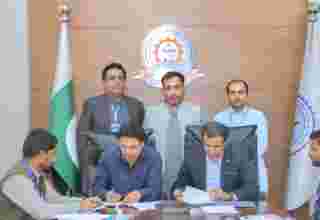
ISLAMABAD, Oct 22 (INP-WealthPK): A seminar on Crop Type Mapping using satellite remote sensing was organized by the Department of Veterinary and Animal Sciences, Muhammad Nawaz Sharif University of Agriculture (MNSUA).
Dr Christoph Raab, a senior faculty member of the University for Sustainable Development, Eberswalde Germany was the keynote speaker. Among the topics he discussed were remote sensing precision, overall accuracy metrics in agriculture, and deforestation via satellite remote sensing of crops.
Prof Dr Shafqat Saeed said that the seminar aimed to integrate Geographic Information System (GIS) and Remote Sensing in the agriculture sector so as to highlight the recent developments in Crop Science in the emerging field of GIS and Remote Sensing. This will help in studying the epidemiology of any disease outbreak. Plant health and agriculture and livestock will also improve, he added.
At the end of the seminar, Prof Dr Junaid Ali Khan encouraged the faculty and students to understand the exciting field. He expressed best wishes for the successful completion of the project in collaboration with all sectors.


